
The above photo was found in a Law Court case file, dated 1917. The photo on the right is a Google Earth image showing the same area, North Roan Street and the intersection of East Watauga Avenue in Johnson City, Tennessee. Note that the Almeda Apartments have undergone a few changes but are still very similar to the way they were in 1917. The church on the right was listed as a Baptist Church, but we were unable to find a name.
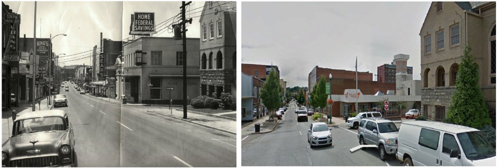
Two photos above are located at the corner of East Main Street and Colonial Way in downtown Johnson City. The left photo was taken in the early 1960’s and the right is a Google Earth image showing the same area today.
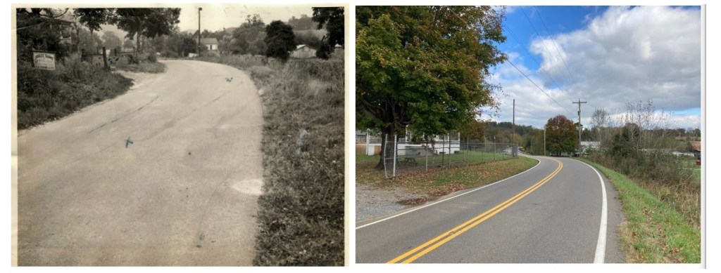
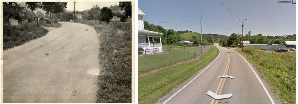
The two comparisons above show the “Jubilee Farms” on the left. We believe the photo on the left was taken in the 1940’s or early 1950’s. The right shows the same home on the left. In the distance on the right, you will notice a white roof near the road. This home is also still standing! This area is the Bowmantown Road area, Washington County. The images on the left were taken in the

The Fall Branch Falls, located on private property are now inaccessible. The photo on the left shows the Morgan mill that stood at the top of the waterfall. The photo on the right was taken circa 2008.
